more accurate positioning
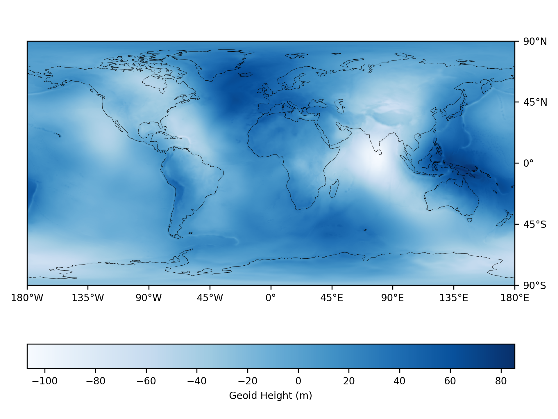
Earth Gravitational Model 2008
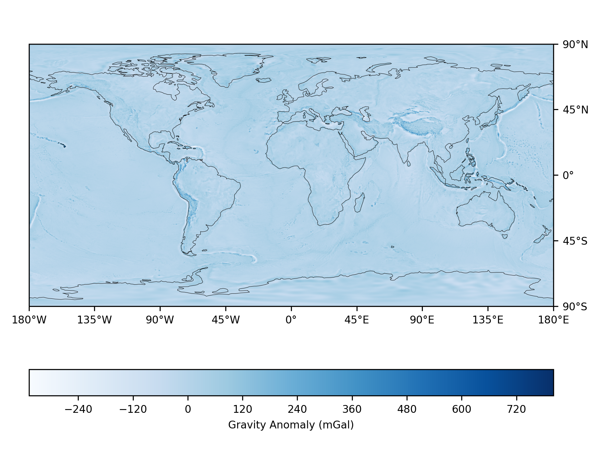
The geoid height is the difference between an ideal reference ellipsoid and the geoid. Variations in the geoid height are related to the density of the earth, so they can help us to better understand its internal structure. It is also used to measure surface elevations to high accuracy which is useful in applications such as GPS and surveying. The gravity anomaly is the difference between the acceleration due to gravity on the Earth's surface and the value calculated assuming the reference ellipsoid.
The official 2008 Earth Gravitational Model EGM2008 was developed and released to the public by the National Geospatial-Intelligence Agency (NGA). This gravitational model is complete to spherical harmonic degree and order 2159.
langman equations
Tidal effects refer to the gravitational pull exerted by the Moon and Sun, which influences the Earth's surface and bodies of water. These effects are crucial for understanding and compensating for variations in Earth's gravitational field, impacting GPS accuracy and geophysical measurements. The Longman tide formula, developed in 1959, provides a method to calculate these tidal forces accurately at specific geographic coordinates and dates.